- Ticket office working hours
OCTOBER TO MARCH: 09h30 - 17h00
APRIL, MAY AND SEPTEMBER: 09h30 - 18h00
JUNE TO AUGUST: 09h30 - 18h30
The last tour of the day starts when the ticket office closes
- Visits
It’s not necessary to book a tour in order to visit the cave unless you have group with more than 20 adults or a school group. More information on group bookings down below.
We don’t have tours at specific time schedules, these are marked as visitors arrive. As you purchase your tickets our staff at the ticket office will tell you when the next tour will begin, the time schedule is only marked with the first ticket sale. The waiting period between groups shouldn't be longer than 30 minutes, though exceptions might occur.
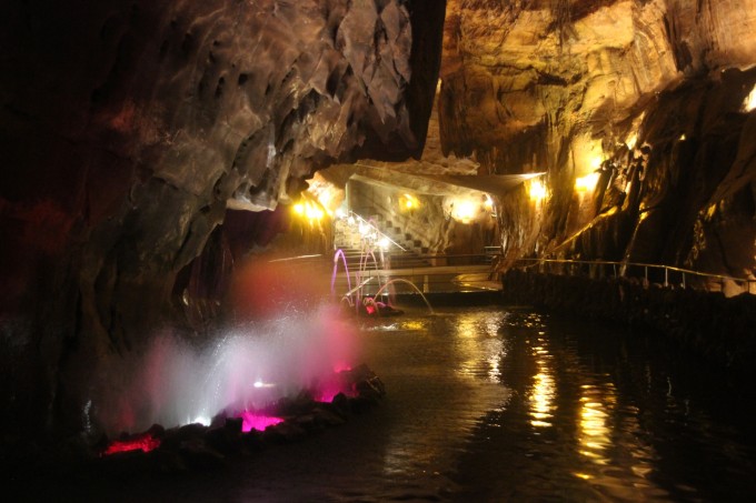
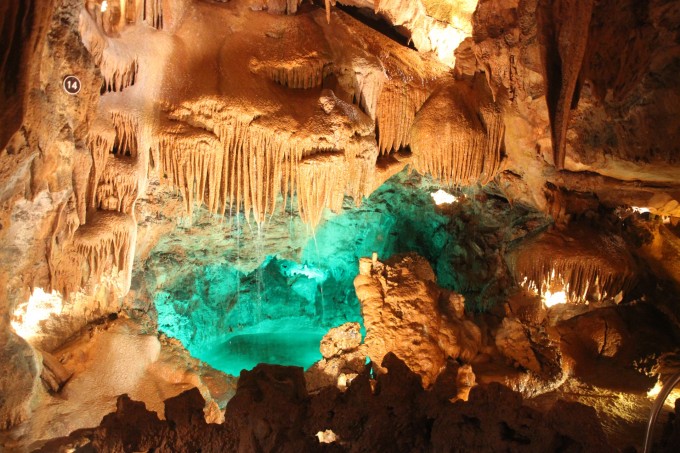
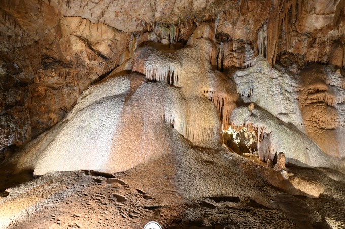
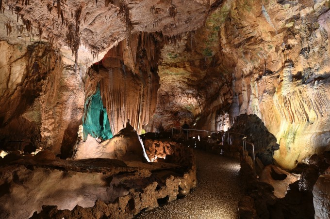
The tour takes about 60 minutes, starts with a small presentation video and is followed by an accompanied tour, our staff that will act as guide giving explanations during the length of the tour, and ends in a photography exhibition about the 70 years of cave exploration in Portugal and in a rock, mineral and gems exposition.
Explanations will be in Portuguese. Explanations in other languages depend on the individual knowledge of the guides and the size of the group. Groups of 50 or more people who all speak English or Spanish can request a staff member with knowledge of these languages to accompany the visit when booking. Indicating the language when booking does not necessarily mean that the tour will be conducted in that language.
Because the staff aren’t certified guides, explanations in other languages depend on the staff’s own knowledge. Non the less, we have available a free downloadable APP that serves as an audio-guide with all the information for the cave in English, Spanish, French and German. The APP will work off-line during the tour.
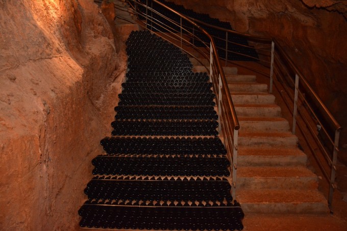
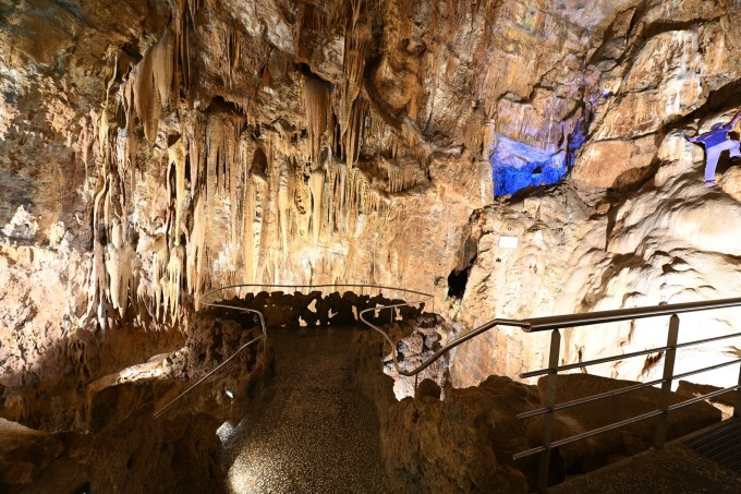
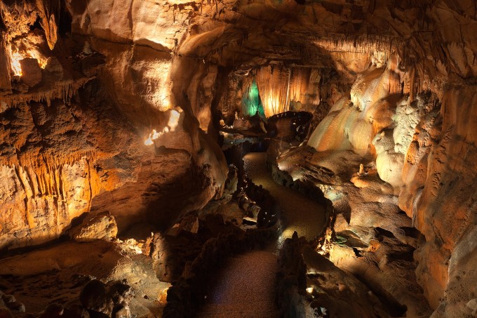
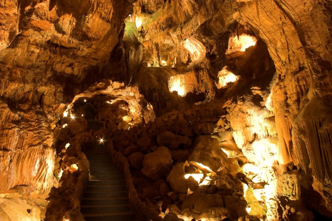
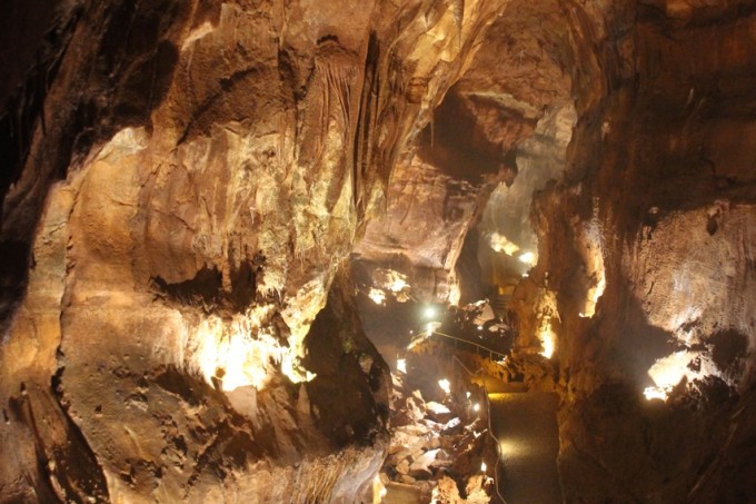
During the length of the tour, we will walk 600 meters of cave and descend 683 steps, the largest staircase of the cave has 105 steps, comfortable shoes are advised.
The exit is by lift, about 300 meters from the caves entrance.
- Groups and School Groups
Groups with 20 adults or more have discounts on the tour. These groups as well as school groups must be booked in advance and confirmed with at least 1 week remaining to the tour date.
The booking of groups must be made in writing to geral@grutasmiradaire.com providing the date, hour of arrival, number of visitors and a mobile contact number. For the school groups, the grade of the students is also required.
Groups with more than 45 persons must be divided into smaller groups that enter within 15 minutes apart as long as we have one of our staff members available to begin the tour.
Booked groups without confirmation might be overlooked by others with full confirmation.
In case of delay, the booked groups that arrive on time will have priority.
Group bookings are design to help manage our staff, they don't guarantee priority treatment.
- 2025 Prices
Free – Children under 5 years old
5,20€ - Children from 5 to 11 years old
8,70€ - All visitors with 12 years old and above
7,90€ - Group with at least 20 adults (if tickets are purchased by the leader of the group)
Taxes included at 23%
- 2026 Tour prices (per visitor)
Free – Children under 5 years old
5,70€ - Children from 5 to 11 years old
9,50€ - All visitors with 12 years old and above
8,70€ - Group with at least 20 adults (if tickets are purchased by the leader of the group)
Taxes included at 23%
-
-
- Visit 5 Senses
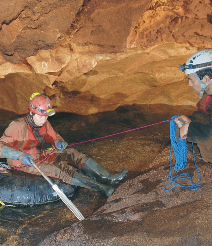
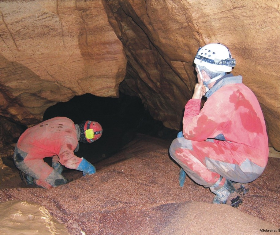
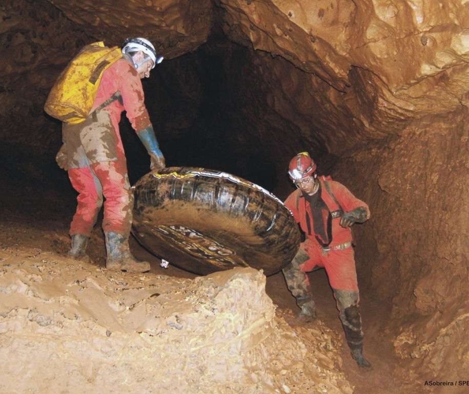
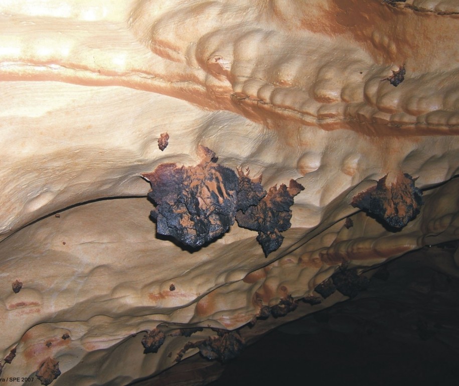
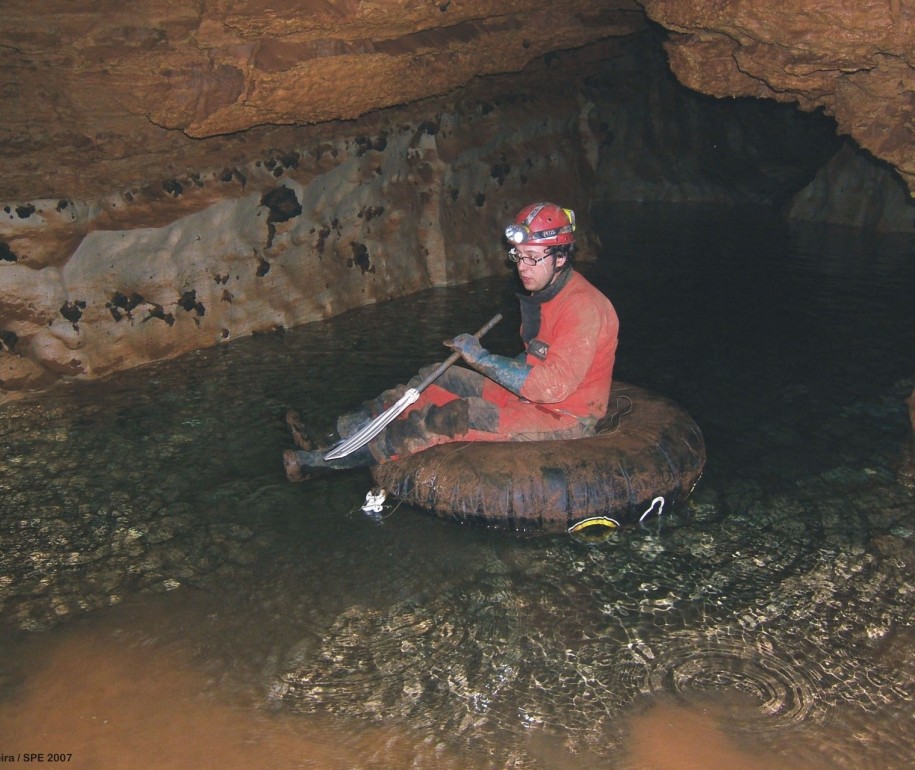
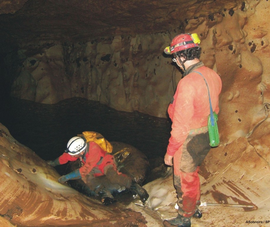
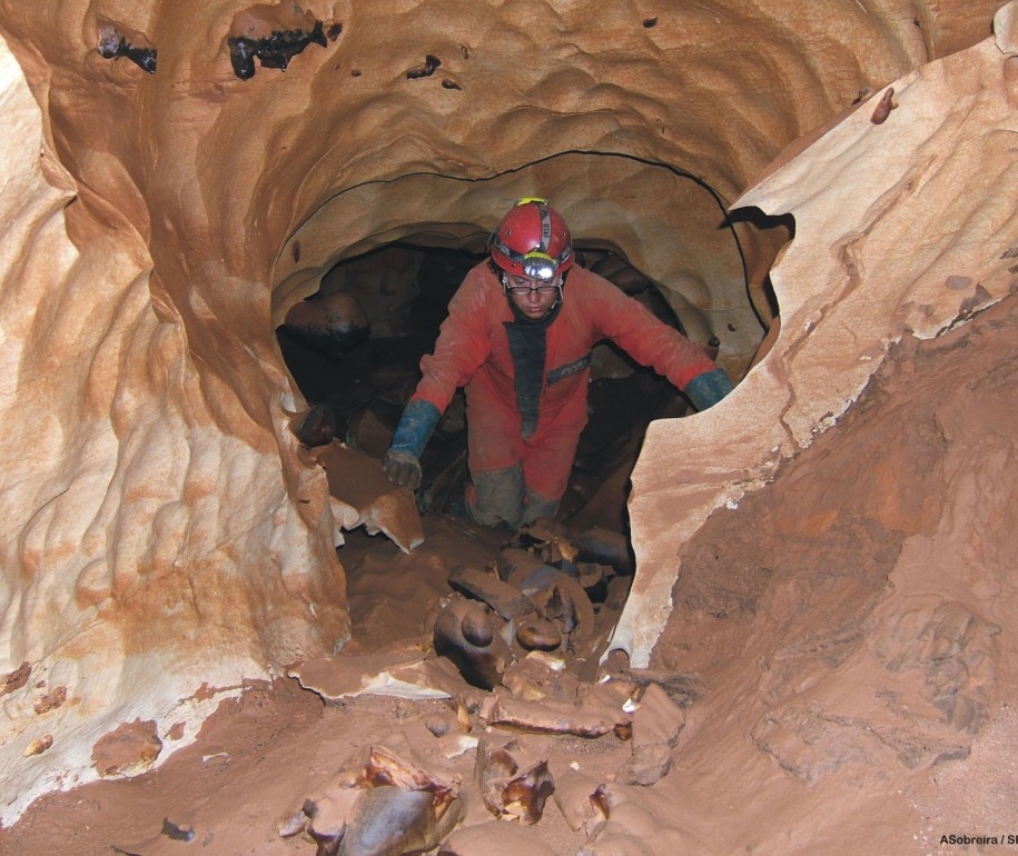
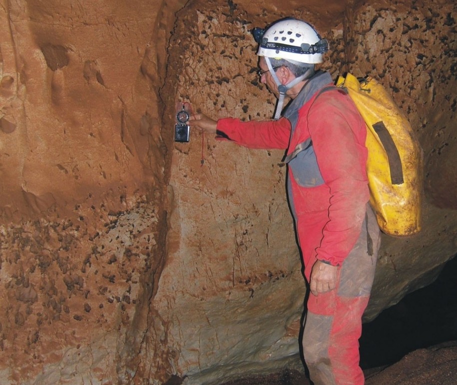
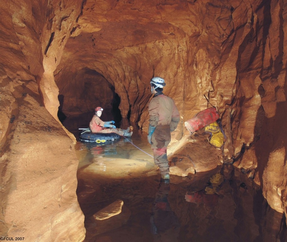
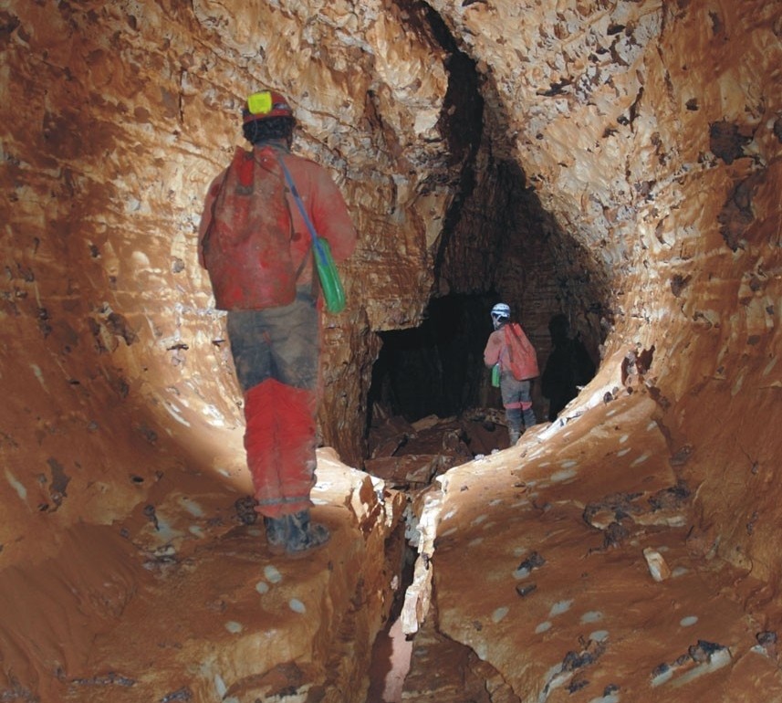
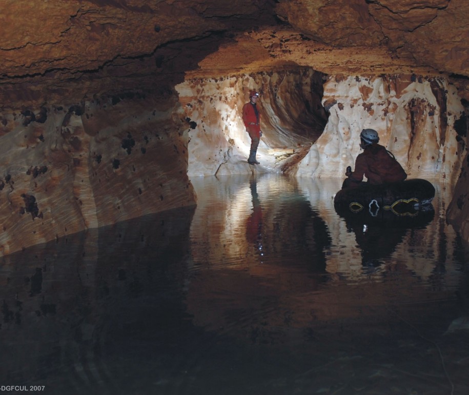
The underground adventure begins here, on a visit where you will utilize your 5 senses. Experience the tourist cave and venture off the path to visit a parallel gallery like a true spelunker.
Total visit time approximately 120 minutes, who's up for the adventure?
No prior experience is necessary; the route we'll take isn't physically demanding, and there won't be a need for ropes or harnesses.
We provide helmets with built-in lights and gloves. In the non-tourist section of the cave, the helmet light will be the only source of illumination.
We offer a small bottle of purified cave water for you can taste the cave too.
Please wear comfortable clothing that can get dirty, wet and posibly suffer minor tears. Wearing wellington boots is recommended, but you can also wear ankle-supporting footwear with good traction for the non-tourist areas. Bring a change of clothes and spare footwear just in case.
Reservations for this visit are mandatory with at least 4 days in advance, with a minimum group size of 2 and a maximum of 8 people. The minimum age for participation is 12 years old.
The visit costs 30,00€ per person, payable at the time of booking and is non-refundable. However, it is possible to reschedule the activity.
We have disposable jump suits (one size fit all L) with an aditional cost of 5,00€/ suit.
-
-
- Safety
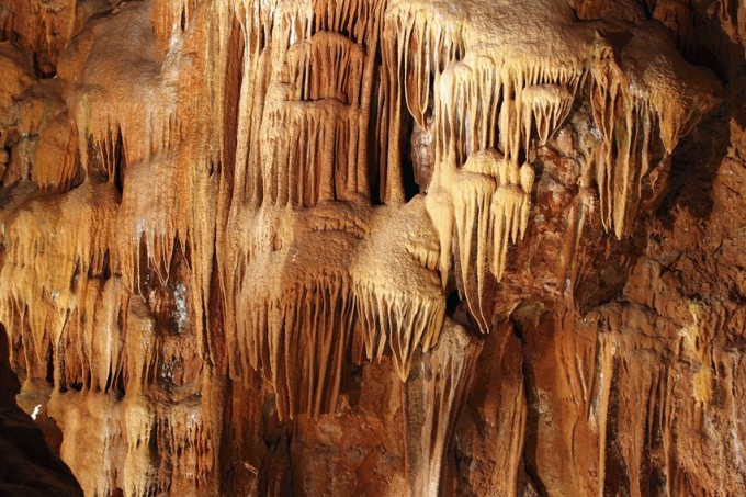
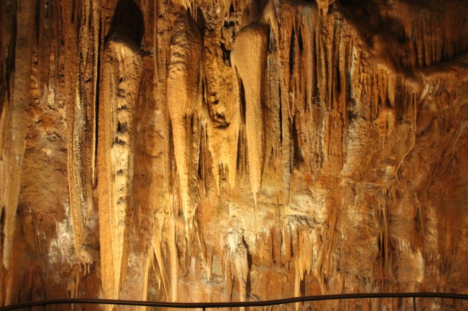
Throughout the cave there is a security railing, it is there to protect both the visitor and the cave. Do not cross the railings for there is a risk of lesion. Avoid touching the cave walls and specially its formations as in doing so might prevent their future development.
- Food and beverage
During the length of the tour the only beverage accepted is water, the only natural drink of nature. It is forbidden to eat inside the cave, chewing gum included, the only exception will be during events on proper locations.
- WC
The tour takes about 60 minutes and there are no restrooms inside the cave. We have restrooms both at the beginning and at the end of the tour, including restrooms adapted to people with disabilities and changing room for infants. We advise the use of the restrooms before entering the cave, please don’t use the cave as a toilet.
- TOBACCO
It’s strictly forbidden to smoke inside the cave, including vaping and electronic cigarettes, cigars and pipes.
- Temperature inside the Cave
The cave as a stable temperature of 18ºC (64,4ºF), and high humidity.
You can bring a coat during the colder months for the return to the entrance (300 meters uncovered).
If it’s rainy outside, it will drip more inside the cave. You can take an umbrella for the return to the entrance, but please don’t open it inside the cave.
- Photos and Video
It’s allowed to take photos and record videos during the tour so long as you don’t harm the natural flow of the tour. Remember to tag us @grutasmiradeaire
- Pets
Pets are allowed inside the cave, so long as the remaining members of the group don’t mind their presence.
- Strollers
Due to the nature of the cave, it’s impossible to use strollers during the tours.

